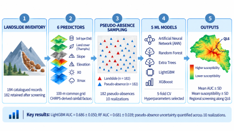
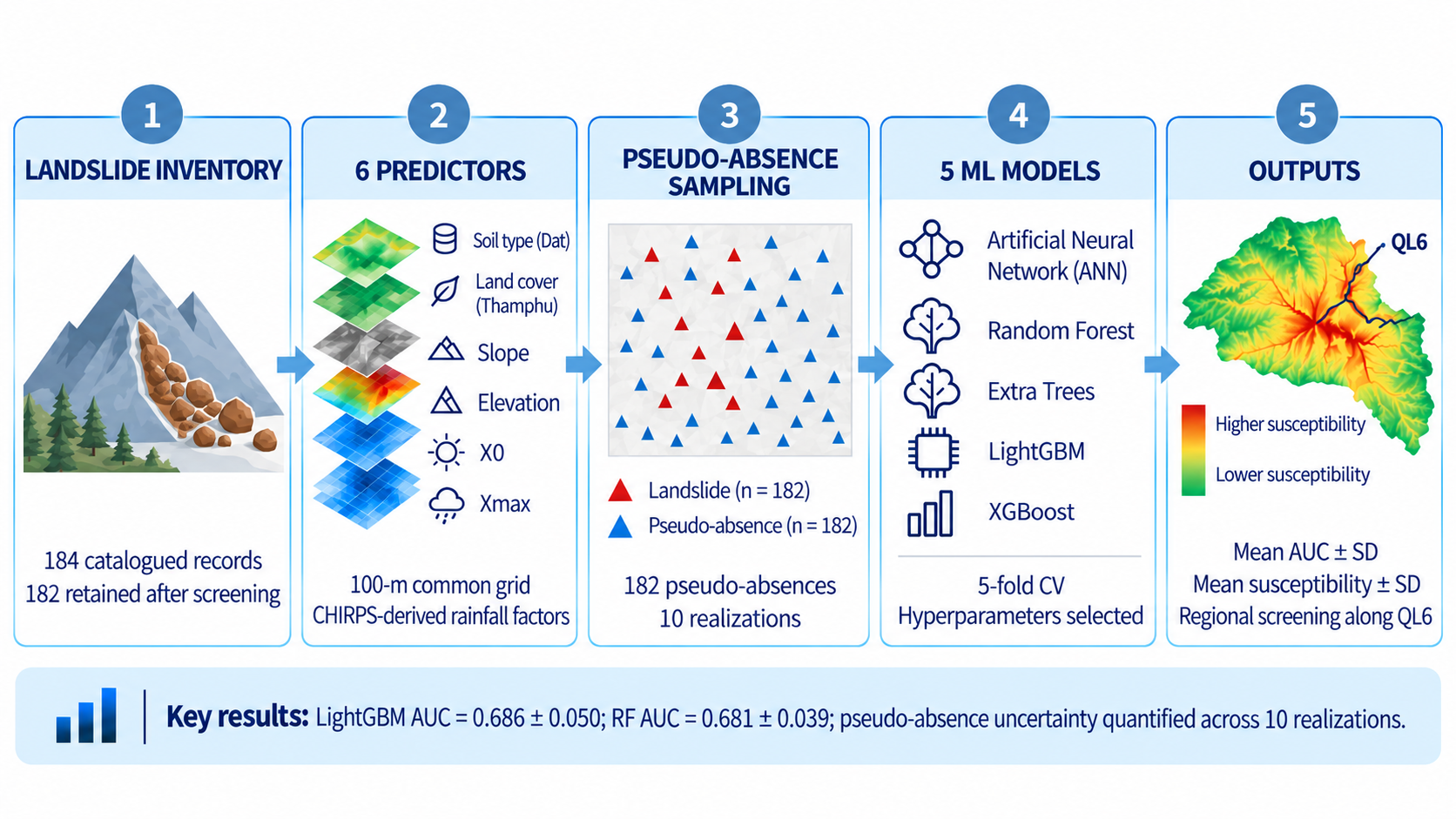
Rainfall-induced landslides threaten communities and transportation corridors in data-scarce mountainous regions, where the spatial representation of rainfall and the construction of non-landslide samples can strongly influence susceptibility estimates. This study develops a reproducible GIS-machine learning framework for Hoa Binh, northern Vietnam, using 182 catalogued landslide locations (from an original 184-record catalogue after excluding two boundary records lacking complete predictor coverage), six environmental variables, and CHIRPS-derived rainfall indicators. Five models-ANN, random forest, Extra Trees, LightGBM, and XGBoost-were evaluated using a stratified 70:30 split, five-fold cross-validation, and ten independent pseudo-absence realizations. LightGBM achieved the highest mean AUC (0.686 ± 0.050), closely followed by random forest (0.681 ± 0.039), Extra Trees (0.675 ± 0.037), XGBoost (0.674 ± 0.046), and ANN (0.656 ± 0.043). Model ranking varied among realizations, demonstrating non-negligible sampling uncertainty. Final susceptibility surfaces were therefore generated as pixel-wise mean probabilities across the ten realizations, accompanied by spatial uncertainty maps. The framework shows that robust regional screening depends not only on algorithm choice but also on transparent sampling, validation, and interpretation of satellite-rainfall limitations.